

The Ever-Changing Celestial Spectacle of the Maracaibo Basin
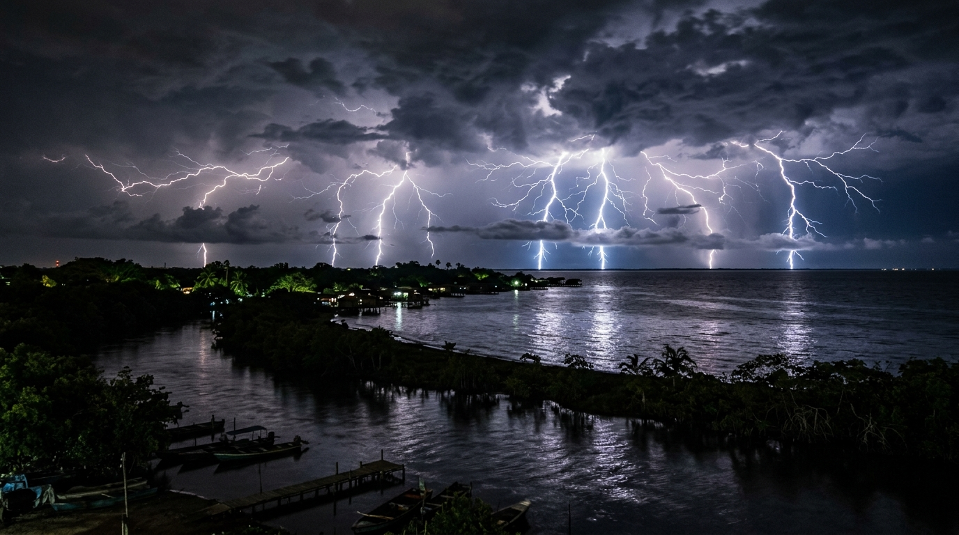
The scientific investigation led by physicist Ángel G. Muñoz
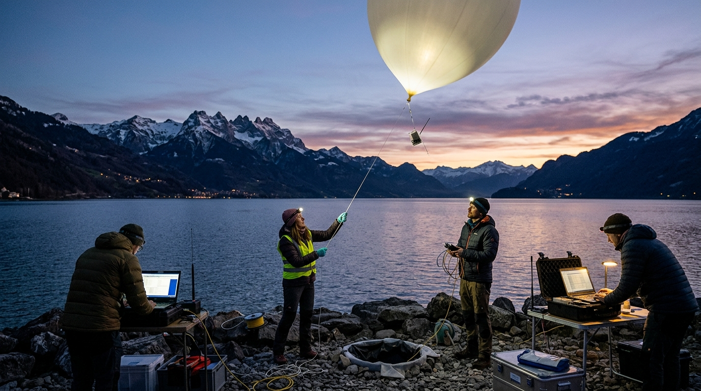
In 2015, physicist Ángel G. Muñoz and his team of researchers set out to uncover the exact causes of this extreme concentration of lightning. Their primary objective was to assess the possibility of predicting the onset of these storms far enough in advance to reduce the risks faced by fishermen and workers on oil and gas platforms.
According to a study published in 2016 in the journal Atmospheric Research, the scientific team highlighted the global significance of their work: “Characterizing lightning activity in different geographic regions is of great importance for both research and forecasting applications,” the team stated. “There is strong evidence indicating a relationship between lightning rates and other thunderstorm parameters, such as precipitation rates [and] a growing interest in studying the modulation of lightning distribution and frequency due to interannual phenomena.”
The Fundamental Physical Mechanisms of Lightning Formation
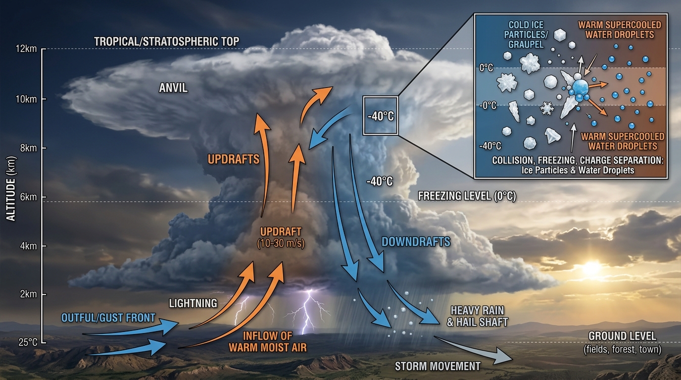
Generally speaking, lightning forms when updrafts of warm air carry water droplets toward the lower part of a developing thunderstorm, typically at altitudes between 35,000 and 70,000 feet (approximately 10,600 to 21,300 meters). At these high altitudes, these warm air currents encounter colder downdrafts laden with ice particles from the storm’s upper, frozen regions.
The Crucial Role of the Nocturnal Jet and Local Topography
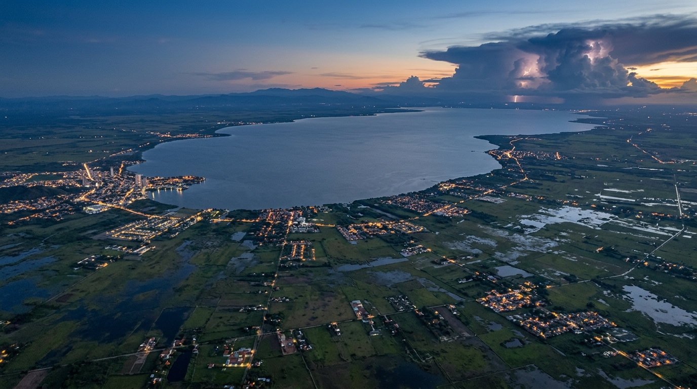
Lake Maracaibo’s particular vulnerability can be explained primarily by the continuous inflow of warm water from the Caribbean Sea. Under the intense heat of the midday sun, a considerable amount of this water evaporates, saturating the atmosphere with moisture. However, this did not explain the almost clockwork regularity of the storms.
To solve this mystery, Ángel G. Muñoz deployed weather sounding balloons. The data collected revealed the presence of a low-altitude air current known as the Maracaibo Basin Low-Level Nocturnal Jet. This wind current occurs daily at very specific times.
A weather model capable of predicting thunderstorms three months in advance
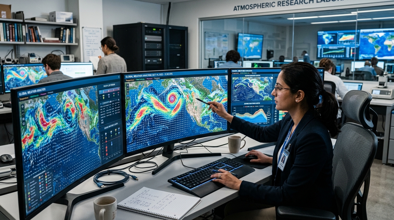
The analysis demonstrated that the interaction between CAPE and the nocturnal jet stream was the primary cause of nighttime thunderstorms. The most accurate simulation was obtained by modeling the advection—that is, the horizontal transport—of CAPE by this low-altitude jet stream.
Until then, the accuracy of lightning forecasts was limited to a few hours or a few days at most. The model developed by Muñoz achieved the feat of extending this forecast window up to three months in advance, marking a major scientific breakthrough for the region.
A Direct Impact on Public Safety and the Economy

According to researcher Ángel G. Muñoz, the model’s effectiveness varies slightly depending on the time of year: “It turns out that the forecasting ability is slightly higher during the season of lowest lightning activity (January–February) than during the season of peak activity (September–October),” Muñoz noted, “but in general, this capability is high enough to be useful for decision-making processes related to human safety, oil and natural gas production, as well as energy and food security.”
Thanks to this combination of ground-based observation and satellite modeling, one of the planet’s most impressive meteorological phenomena is becoming a controlled parameter that serves the public good.
Source: popularmechanics.com
This lightning storm never ends: Scientists have finally discovered why


