

A cartographic myth that originated in the 16th century

In 1535, an island named Bermeja appeared on the Carta Universal, the official map of the Spanish Empire. Yet the cartographer who drew this map had never actually set eyes on this piece of land. He had relied on accounts placing the island at the precise coordinates of 22° 33′ north latitude and 91° 22′ west longitude, off the coast of Mexico’s Yucatán Peninsula, and had estimated its area to be approximately 50 miles (or 81 kilometers). For nearly five centuries, this island—known for its reddish hue, hence its name “Bermeja”—was copied onto maps by generations of geographers.
The belief in the actual existence of Bermeja remained so deeply entrenched over the centuries that it was still included in modern Mexican school textbooks. According to a historical analysis report, the certainty held by the authorities and the general public persisted despite the total absence of direct evidence, transforming a simple sailors’ legend into an undisputed official geographical feature for half a millennium.
From the 1775 expedition to the first technological doubts in 1997
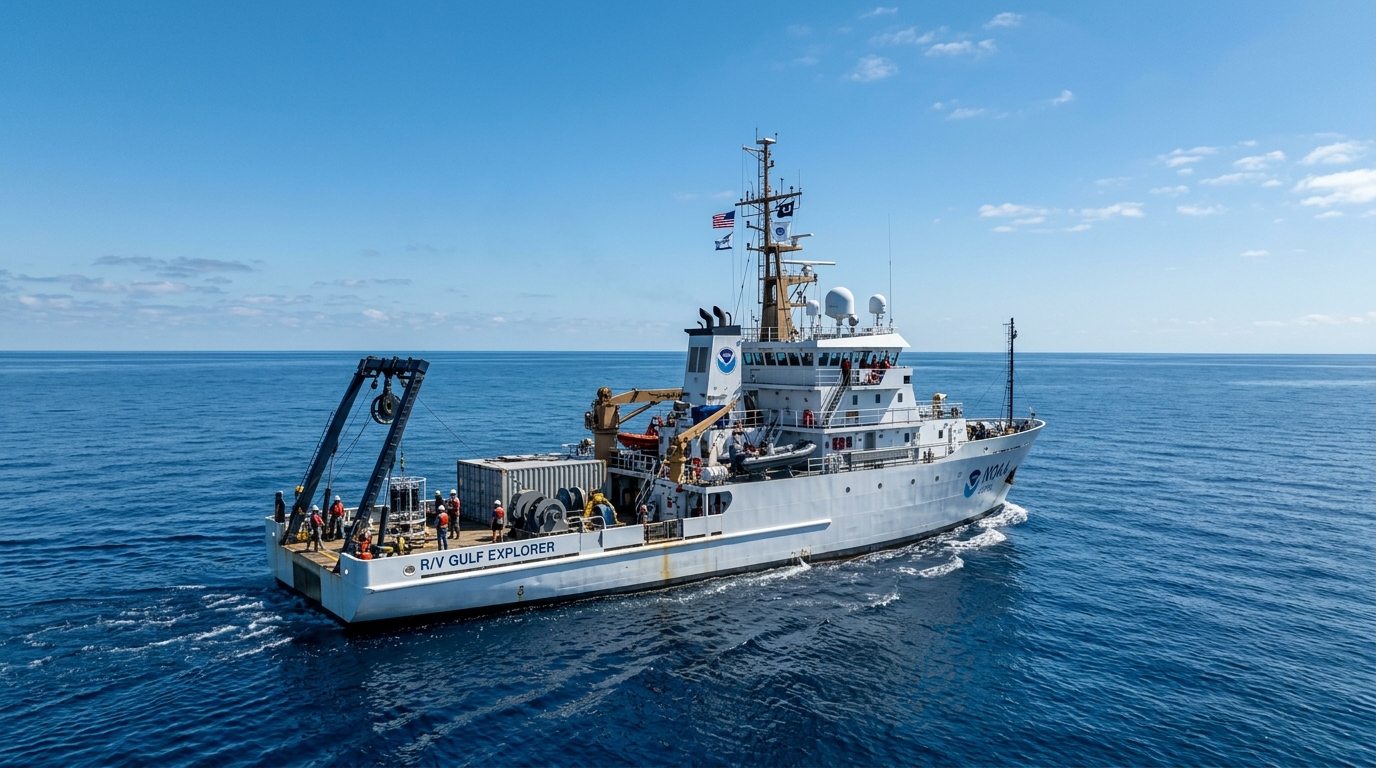
The first attempts to verify the island’s existence on the ground date back to the 18th century. In 1775, Captain Miguel Alguete led an expedition on behalf of the Spanish army to pinpoint the island’s location. The entries in the ship’s log indicate that weather conditions were perfect and visibility was completely clear. If land had been present at the specified coordinates, Alguete would inevitably have spotted it. Instead, the crew saw nothing but a vast expanse of water stretching to the horizon.
Despite this historic failure, Spain and later Mexico continued to ignore these findings. It was not until 1997 that the Mexican government decided to settle the matter by dispatching its own official expedition. Benefiting from the technological advances of the late 20th century, modern navigators and scientists arrived at the island’s theoretical location. Just like Captain Alguete two centuries earlier, the team found no trace of land.
At the exact location attributed to Bermeja, the ships found themselves isolated in a remote region of the Gulf of Mexico, surrounded by endless expanses of water. Over the course of Earth’s 4.5-billion-year history, many islands have emerged and then been submerged, but all leave geological evidence of their past existence. In the case of Bermeja, the finding remained unequivocal: there was absolutely nothing there.
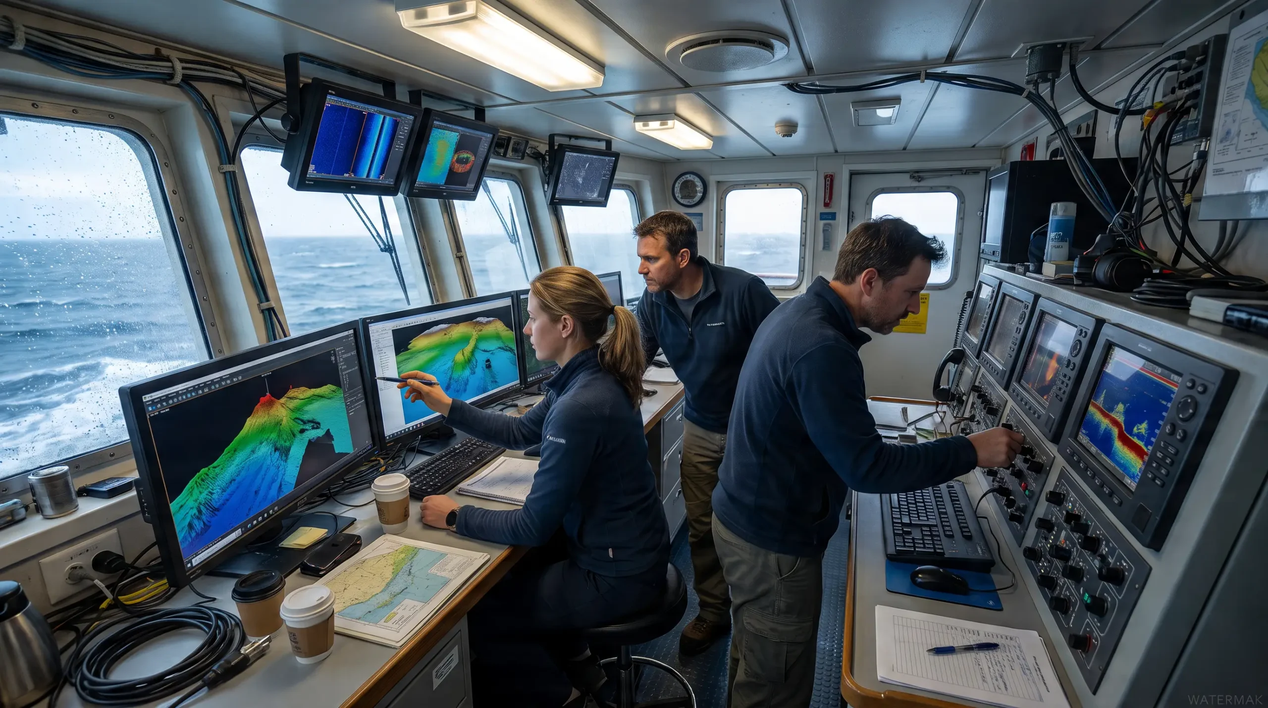
The 2009 scientific investigation and the verdict from the seafloor
Energy Issues and the Western Gap Border
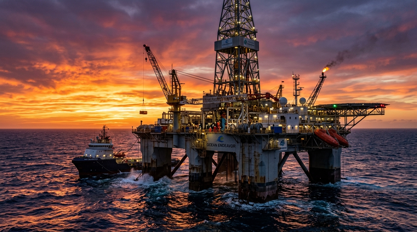
The discussions that began in 1998 regarding the Western Gap Treaty were aimed at dividing the area known as the Western Gap. This area is home to the Hoyos de Dona, or “Donut Holes”—geological formations created by ancient salt deposits rising to the surface and displacing sediments. These structures trap immense pressurized reservoirs of hydrocarbons, representing a colossal oil resource estimated at $22 billion.
Between diplomatic statements and border defense
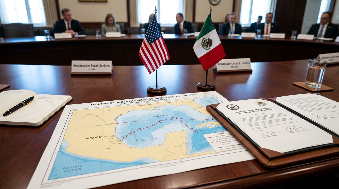
On the American side, interest in this deepwater region of the Gulf of Mexico was just as keen. Walt Rosenbusch, then director of the Minerals Management Service at the U.S. Department of the Interior, stated in an official press release at the time: "Establishing a boundary is an important step toward providing the certainty needed for our deepwater oil and gas program beyond the 200-mile exclusive economic zone, particularly in light of the remarkable advances in deepwater drilling capabilities. These new technologies have sparked keen interest in the deepwater region of the Gulf of Mexico."
Faced with a United States eager to prove that Bermeja did not exist in order to lay claim to the maritime territory and its oil reserves, Mexico maintained its position during the signing of the bilateral treaties, insisting that the island had appeared in cartographic records for centuries. The 2009 scientific expedition ultimately served as a last resort to assess the area and legally defend Mexico’s borders.
Source: popularmechanics.com
A 16th-century map shows an island worth $22 billion… that may never have existed


