Skip to content

The Challenge of Multi-Species Census

In Africa, large carnivores do not share territory evenly. Lions occupy the largest areas, while leopards prefer their own movement corridors. In contrast, the genet—which is about the size of a house cat—spends its entire life within a patch of land representing only a fraction of that area.

Until now, no one had ever managed to survey all of these predators simultaneously using a single network of camera traps. As reported in a study published in the journal Scientific Data, a research team decided to take on this complex challenge by deploying an innovative system in South Africa.

The method used, known by the technical term “spatial capture-recapture,” is based on a simple concept: researchers set up cameras and then link each photograph to a specific animal using its physical markings. This technique allows researchers to estimate the local population and the extent of its movements, but until now it had only worked optimally for a single species at a time.

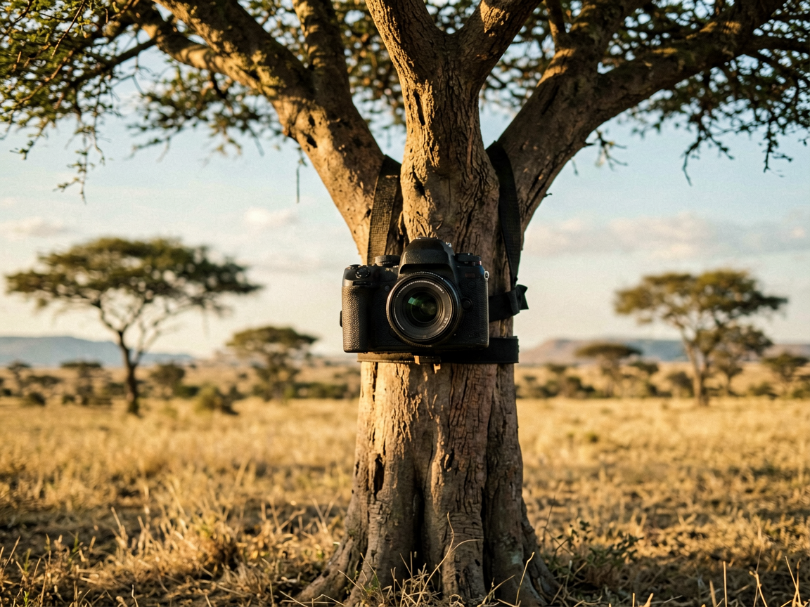
The Technological Innovation: A Two-Tier Network

Conventional monitoring networks are generally calibrated for a single target animal, reducing other species to the status of bycatch. Laura C. Gigliotti, a wildlife biologist at West Virginia University, sought to design a network capable of counting multiple predators simultaneously, thereby circumventing the problem of each animal’s unique home range.

To test this approach, the team set up operations in the Munywana Reserve, a 285-square-kilometer (110-square-mile) area located in eastern South Africa. The system was deployed in two phases. The researchers first installed 60 cameras targeting leopards, the feline that travels the greatest distances within the reserve. Next, they placed 40 additional cameras in the gaps, specifically targeting small animals with limited ranges that had been missed during the first round.

These two layers combined formed a grid that no standard census could have produced. The cameras were spaced approximately 800 meters (half a mile) apart, grouped unevenly to accommodate the distances traveled by each species. The layout was inspired by a separate method designed for species of varying sizes. The twin cameras were mounted 30 centimeters (1 foot) above the ground along the reserve’s dirt trails, capturing both sides of each animal.

Field observation results

Between September 2021 and January 2022, the cameras identified 438 animals across six species of predators. The disparity in population sizes is striking: the census counted 21 lions and 6 cheetahs on one side, compared to more than 300 large-spotted genets on the other.

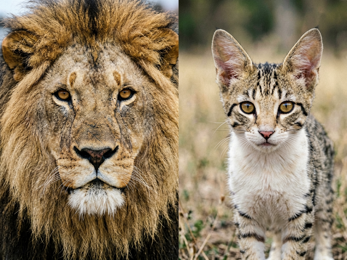
Between these two extremes, the system captured images of leopards, spotted hyenas, and servals—a slender, medium-sized feline. Software initially flagged potential matches, after which the team manually confirmed each individual by carefully examining the spots and rosettes on their coats.

Lions, which lack body spots, required a specific approach. The team identified them using the markings on their vibrissae (the spots on their whiskers) and their old scars. These distinctive features were then meticulously compared to a reserve catalog, which has been rigorously maintained since the 1990s.

Data Accuracy and Limitations of the System

The identification rate proved to be very high overall. It exceeded nine out of ten photographs for lions and achieved 100% accuracy for cheetahs. However, accuracy decreased slightly when it came to identifying hyenas and genets.

Installing cameras along roads comes with a known statistical cost. A study of similar installations has shown that animals that avoid roads can skew counts. Thus, cheetahs—which are particularly wary—likely slipped through the cracks in greater numbers than their final count of six individuals suggests.

Despite this limitation inherent to shy species, the combination of software-based detection and human verification made it possible to compile the very first public dataset of this scale. The study demonstrates that an asymmetrical configuration of sensors in the field provides a particularly accurate snapshot of local biodiversity.

Implications for Ecosystem Management

Prior to this breakthrough, no public camera-based dataset had achieved this feat for all species simultaneously. While previous surveys had been able to track multiple animals, none were reliable enough for all of them, nor were they made publicly available for reuse by other researchers. The presence of each predator on a single grid now makes it possible to analyze how they share space and to observe whether big cats drive small predators out of their territory.

This community-scale perspective is essential for ecosystem management, as recent studies have highlighted. The practical benefit is also very tangible. A reserve that previously had to conduct separate censuses for each predator can now combine them, thereby reducing costs and workload for teams that are often understaffed. Furthermore, these data provide statisticians with real-world figures to test new analytical methods.

The result is a ready-to-use map showing precisely where six predators have moved within an African reserve, with each animal linked to the camera that captured it. Reserves now have a working model: instead of selecting one animal to study per season, a single network of cameras can monitor the entire carnivore community. This method is now available to any team wishing to replicate it in their own field.

Source: earth.com

A New Map Reveals the Hidden Distribution of Carnivores in South Africa

facebook icon twitter icon linkedin icon
Copied!

Comments

0 0 votes
Article Rating
Subscribe
Notify of
guest
0 Comments
Newest
Oldest Most Voted
Inline Feedbacks
View all comments
More Content